What radar found beneath Antarctica could slow ice melt and rising seas
- Date:
- July 22, 2025
- Source:
- Durham University
- Summary:
- Ancient river landscapes buried beneath the East Antarctic Ice Sheet have been uncovered by radar, revealing vast, flat surfaces formed over 80 million years ago before Antarctica froze. These hidden features, stretching across 3,500 kilometers, are now acting as natural brakes on glacier flow, potentially moderating current ice loss. Their discovery adds a new piece to the puzzle of Earth's climate history and could help scientists better forecast how this enormous ice sheet will behave as the planet warms.
- Share:
The remains of landscapes thought to have formed when ancient rivers flowed across East Antarctica have been discovered - and could help predictions of future loss from the ice sheet.
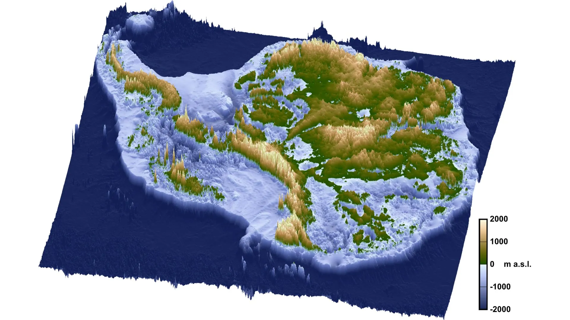
Researchers led by Durham University, UK, examined radar measurements of ice thickness and found extensive, previously unmapped, flat surfaces buried beneath a 3,500 km stretch of the East Antarctic coastline.
These surfaces were once connected and it is believed were formed by large rivers after East Antarctica and Australia broke apart approximately 80 million years ago, and before ice covered Antarctica about 34 million years ago.
The flat surfaces are now hidden beneath the ice sheet and separated by deep troughs, which fast-flowing glaciers are steered through. The ice above the surfaces is moving much more slowly, the researchers say.
Ice loss from Antarctica is increasing, but the flat surfaces act as barriers to ice flow and may currently be regulating the rate of ice loss.
East Antarctica has the potential to raise global sea levels by 52 meters (170 feet) if it were to melt completely.
Adding the newly discovered surfaces' effects into models of future ice-sheet behavior could help refine projections of how the East Antarctic Ice Sheet might react to climate change and what its impact on global sea levels could be, the researchers add.
The findings are published in the journal Nature Geoscience.
Research lead author Dr Guy Paxman, a Royal Society University Research Fellow in the Department of Geography, Durham University, said: "The landscape hidden beneath the East Antarctic Ice Sheet is one of the most mysterious not just on Earth, but on any terrestrial planet in the solar system.
"When we were examining the radar images of the sub-ice topography in this region, these remarkably flat surfaces started to pop out almost everywhere we looked.
"The flat surfaces we have found have managed to survive relatively intact for over 30 million years, indicating that parts of the ice sheet have preserved rather than eroded the landscape.
"Information such as the shape and geology of the newly mapped surfaces will help improve our understanding of how ice flows at the edge of East Antarctica.
"This in turn will help make it easier to predict how the East Antarctic Ice Sheet could affect sea levels under different levels of climate warming in the future."
The extensive flat surfaces were found beneath approximately 40% of the East Antarctic Ice Sheet's 3,500km-long coastline between Princess Elizabeth Land and George V Land.
The preservation of these enigmatic surfaces over tens of millions of years indicates a lack of intense, selective erosion of these areas throughout Antarctica's glacial history.
The research team also included the universities of Newcastle, Edinburgh and Exeter, UK, the British Antarctic Survey, the Alfred Wegener Institute, Germany, the Polar Research Institute of China, and Beijing University of Technology.
Research co-author Professor Neil Ross, Professor of Polar Science and Environmental Geophysics, Newcastle University, said: "We've long been intrigued and puzzled about fragments of evidence for 'flat' landscapes beneath the Antarctic ice sheets.
"This study brings the jigsaw pieces of data together, to reveal the big picture: how these ancient surfaces formed, their role in determining the present-day flow of the ice, and their possible influence on how the East Antarctic Ice Sheet will evolve in a warming world."
The researchers emphasize the need to further explore the influence of these flat surfaces on ice sheet movement during past warmer climates.
This would include drilling through the ice to retrieve rock from the flat surfaces to understand when they were last free from ice cover. This will help improve predictions for how the ice around this large section of the East Antarctic margin will respond as the climate and ocean warms.
The research was funded by the UK's Natural Environment Research Council, a Leverhulme Trust Early Career Fellowship, the European Research Council, the AWI INSPIRES III program and the Natural Science Foundation of China.
Story Source:
Materials provided by Durham University. Note: Content may be edited for style and length.
Journal Reference:
- Guy J. G. Paxman, Stewart S. R. Jamieson, Neil Ross, Michael J. Bentley, Charlotte M. Carter, Tom A. Jordan, Xiangbin Cui, Shinan Lang, David E. Sugden, Martin J. Siegert. Extensive fluvial surfaces at the East Antarctic margin have modulated ice-sheet evolution. Nature Geoscience, 2025; DOI: 10.1038/s41561-025-01734-z
Cite This Page: