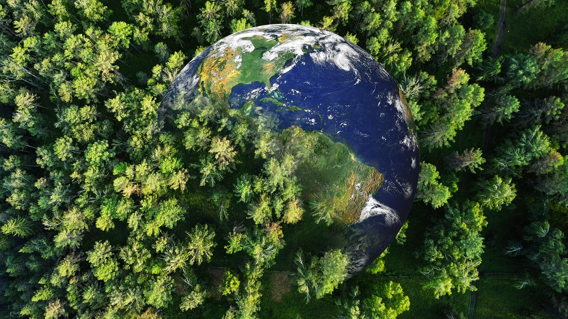
Space-laser AI maps forest carbon in minutes—a game-changer for climate science
Estimating aboveground forest biomass key to climate change research
- Date:
- June 14, 2025
- Source:
- University of Arkansas System Division of Agriculture
- Summary:
- A pioneering study reveals how archaeologists' satellite tools can be repurposed to tackle climate change. By using AI and satellite LiDAR imagery from NASA and ESA, researchers have found a faster, more accurate way to map forest biomass critical for tracking carbon. This innovative fusion of space tech and machine learning could revolutionize how we manage and preserve forests in a warming world.
- Share:
Satellite data used by archaeologists to find traces of ancient ruins hidden under dense forest canopies can also be used to improve the speed and accuracy to measure how much carbon is retained and released in forests.
Understanding this carbon cycle is key to climate change research, according to Hamdi Zurqani, an assistant professor of geospatial science for the Arkansas Forest Resources Center and the College of Forestry, Agriculture and Natural Resources at the University of Arkansas at Monticello. The center is headquartered at UAM and conducts research and extension activities through the Arkansas Agricultural Experiment Station and the Cooperative Extension Service, the University of Arkansas System Division of Agriculture's research and outreach arms.
"Forests are often called the lungs of our planet, and for good reason," Zurqani said. "They store roughly 80 percent of the world's terrestrial carbon and play a critical role in regulating Earth's climate."
To measure a forest's carbon cycle, a calculation of forest aboveground biomass is needed. Though effective, traditional ground-based methods for estimating forest aboveground biomass are labor-intensive, time-consuming and limited in spatial coverage abilities, Zurqani said.
In a study recently published in Ecological Informatics, Zurqani shows how information from open-access satellites can be integrated on Google Earth Engine with artificial intelligence algorithms to quickly and accurately map large-scale forest aboveground biomass, even in remote areas where accessibility is often an issue.
Zurqani's novel approach uses data from NASA's Global Ecosystem Dynamics Investigation LiDAR, also known as GEDI LiDAR, which includes three lasers installed on the International Space Station. The system can precisely measure three-dimensional forest canopy height, canopy vertical structure and surface elevation. LiDAR stands for "light detection and ranging" and uses light pulses to measure distance and create 3D models.
Zurqani also used imagery data from the European Space Agency's collection of Earth observation Copernicus Sentinel satellites -- Sentinel-1 and Sentinel-2. Combining the 3D imagery from GEDI and the optical imagery from the Sentinels, Zurqani improved the accuracy of biomass estimations.
The study tested four machine learning algorithms to analyze the data: Gradient tree boosting, random forest, classification and regression trees, or CART, and support vector machine. Gradient tree boosting achieved the highest accuracy score and the lowest error rates. Random forest came in second, proving reliable but slightly less precise. CART provided reasonable estimates but tended to focus on a smaller subset. The support vector machine algorithm struggled, Zurqani said, highlighting that not all AI models are equally suited for estimating aboveground forest biomass in this study.
The most accurate predictions, Zurqani said, came from combining Sentinel-2 optical data, vegetation indices, topographic features, and canopy height with the GEDI LiDAR dataset serving as the reference input for both training and testing the machine learning models, showing that multi-source data integration is critical for reliable biomass mapping.
Why it matters
Zurqani said that accurate forest biomass mapping has real-world implications for better accounting of carbon and improved forest management on a global scale. With more accurate assessments, governments and organizations can more precisely track carbon sequestration and emissions from deforestation to inform policy decisions.
The road ahead
While the study marks a leap forward in measuring aboveground forest biomass, Zurqani said the challenges remaining include the impact weather can have on satellite data. Some regions still lack high-resolution LiDAR coverage. He added that future research may explore deeper AI models, such as neural networks, to refine predictions further.
"One thing is clear," Zurqani said. "As climate change intensifies, technology like this will be indispensable in safeguarding our forests and the planet."
Journal Reference:
- Hamdi A. Zurqani. A multi-source approach combining GEDI LiDAR, satellite data, and machine learning algorithms for estimating forest aboveground biomass on Google Earth Engine platform. Ecological Informatics, 2025; 86: 103052 DOI: 10.1016/j.ecoinf.2025.103052
Cite This Page: